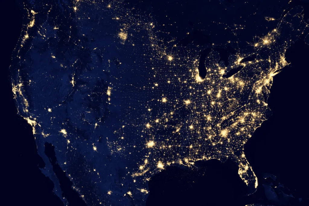
The United States of America is the third-largest country in the world in terms of area, behind Russia and Canada. The nation occupies an area of 3,119,884.69 square miles (8,080,464.3 km2) within its contiguous borders, which includes the 50 states and the District of Columbia.
The greatest north-south line in the contiguous US is 1,650 miles (2,660 km), while the greatest distance on a great-circle route entirely within the contiguous US is 2,802 miles (4,509 km) between Florida and the state of Washington. These figures give an idea of the vastness of the country and the diversity of landscapes that exist within it.
The US also shares borders with two neighboring countries – Canada and Mexico. The length of the US-Canadian border, excluding Alaska, is approximately 3,987 miles, while the US-Mexican border is estimated at 1,933 miles. These borders are monitored to ensure the security of the nation and to regulate the flow of goods and people across them.
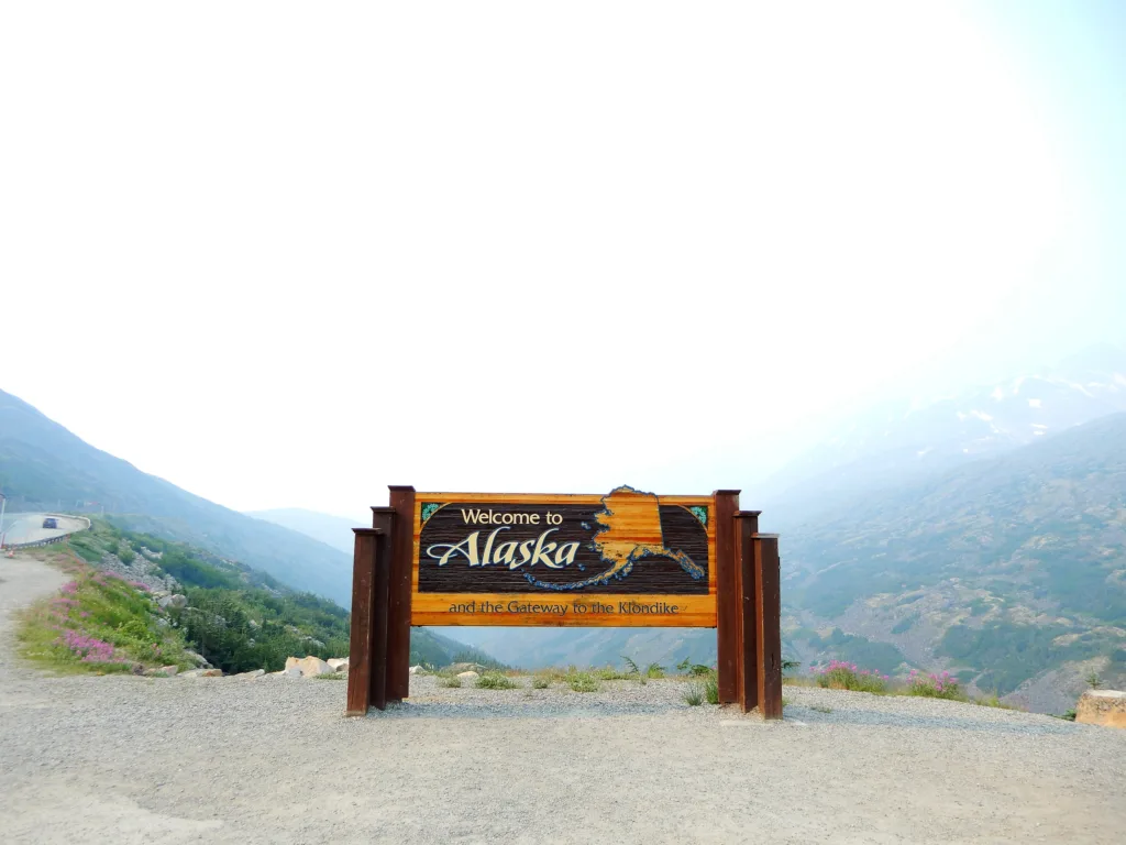
The nation’s largest state is Alaska, which is approximately 1,400 miles by 2,700 miles. Its vast size makes it larger than Texas, California, and Montana combined. Alaska is known for its rugged terrain, glaciers, and abundant wildlife, including bears, moose, and caribou.
It is important to note that the total area of the United States includes not only the 50 states and the District of Columbia but also its territories and dependencies. These include Puerto Rico, Guam, American Samoa, the US Virgin Islands, and the Northern Mariana Islands, among others.
The United States of America is a vast and diverse country, covering an area of 3,119,884.69 square miles (8,080,464.3 km2) within its contiguous borders. Its borders with Canada and Mexico are closely monitored, while its largest state, Alaska, is larger than many other states combined. The nation’s territories and dependencies also contribute to its oveall size and diversity.
Width of the United States at Its Widest Point
The U.S. is a vast country that spans acrss multiple time zones and covers a large area. The country’s width at its widest point is approximately 2,802 miles (4,509 km). This distance is measured on a great-circle route and is entirely within the contiguous U.S., meaning it does not include Alaska or Hawaii.
To put this distance into perspective, it’s roughly equivalent to the distance between the state of Florida and the state of Washington. This vast expanse of land is home to numerous diverse landscapes, ranging from deserts to mountains, and from forests to plains.
It’s worth noting that the U.S. also has a significant north-south distance of approximately 1,650 miles (2,660 km). This distance stretches from the northernmost point of the contiguous U.S. in Minnesota to the southernmost point in Florida.
In terms of land area, the contiguous U.S. covers approximately 3,119,884.69 square miles (8,080,464.3 km2). This vast area is equivalent to roughly two-thirds of the entire continent of Europe.
The U.S. is a vast and diverse country that spans a significant distance both in terms of width and north-south distance. Its expansive land area is home to a wide variety of natural landscapes and cultural regions.

Borders of the United States
The actual borders of the United States consist of two main boundaries – the U.S.-Canadian border and the U.S.-Mexican border. The U.S.-Canadian border is approximately 3,987 miles long, excluding the state of Alaska. This boundary is the longest international border in the world and stretches from the Pacific Ocean to the Atlantic Ocean. It separates the United States and Canada and is marked by a variety of physical barriers, including rivers, lakes, and mountains.
On the oter hand, the U.S.-Mexican border is approximately 1,933 miles long and runs from the Pacific Ocean to the Gulf of Mexico. This boundary separates the United States and Mexico and is marked by a variety of physical barriers, including deserts, mountains, and rivers. This boundary has been a topic of political debate in recent years, with discussions surrounding issues such as immigration, drug trafficking, and security.
It is worth noting that the actual length of both borders may vary slightly depending on the method of measurement used. However, the aforementioned estimates are widely accepted by experts and organizations such as the U.S. Geological Survey (USGS).
Size of the United States in Square Miles
The United States of America is one of the largest countries in the world in terms of land area. It covers a total area of 9,629,091 square kilometers, whch is equivalent to 3,717,792 square miles. To put this into perspective, this is almost double the size of Australia, and slightly smaller than China.
The land area of the U.S. includes the 50 states and the District of Columbia but does not include the country’s territories and dependencies. The country is divided into six time zones, and it borders both the Atlantic and Pacific oceans, as well as Canada to the north and Mexico to the south.
To give an even clearer understanding of the size of the U.S., here is a list of the top 10 largest states by land area:
1. Alaska – 663,267 square miles
2. Texas – 268,581 square miles
3. California – 163,696 square miles
4. Montana – 147,040 square miles
5. New Mexico – 121,590 square miles
6. Arizona – 113,990 square miles
7. Nevada – 110,562 square miles
8. Colorado – 104,185 square miles
9. Oregon – 98,381 square miles
10. Wyoming – 97,813 square miles
The United States is a vast country that covers a total area of 9,629,091 square kilometers (3,717,792 square miles), and is home to a diverse range of landscapes, cultures, and people.
The Longest State Horizontally
The longest state in terms of horizontal distance is Alaska. It is located in the northwestern region of the United States of America and covers an area of approximately 663,267 square miles. Alaska spans aout 1,400 miles from east to west, making it the largest state in the country.
To put this into perspective, if you were to drive across Alaska from the easternmost point to the westernmost point, it would take you approximately 18 hours. This distance is equivalent to driving from New York City to Dallas, Texas.
In addition to its vast horizontal distance, Alaska also has a coastline that stretches for over 6,640 miles. This coastline is home to numerous bays, fjords, and islands, adding to the state’s unique geography and beauty.
Alaska’s impressive size and vastness make it a truly unique and remarkable state, both in the United States and in the world.

Conclusion
The United States is a vast and diverse country with an expansive land area, spanning over 3.7 million square miles. From the sunny beaches of Florida to the rugged terrain of Alaska, the country offers a wide range of geographic features and climates. The US-Canadian border, excluding Alaska, is approximately 3,987 miles whie the US-Mexican border is estimated at 1,933 miles. This country is known for its cultural diversity, technological advancements, and economic opportunities. The United States has played a significant role in shaping world history and continues to be a global leader in various industries. As a country built on diversity and innovation, the United States is a unique and remarkable place to live and visit.
